Geospatial Soil Science Lab is a research group that works in the Department of Geography at the West University of Timisoara.
We are a young group dedicated to advancing the fields of digital soil mapping, pedometrics, geomorphometry, and soil geography, using Geographic Information Systems (GIS), and remote sensing technology.
We focus on conducting research and publishing relevant and high-impact studies, through participating in national/international research grants.
RESEARCH TOPICS
| Digital soil mapping and assessment. Using GIS, remote sensing, computational techniques, and geospatial analysis, we aim to create accurate and detailed maps of soil properties and enhance our understanding of soil patterns, characteristics, and processes, providing valuable insights for land management, agriculture, and environmental planning. Geomorphometry. We use digital terrain analysis and DEM derivatives to predict soil spatial distribution across landscapes and delineate soil boundaries. Soil-Landscape Modeling. We analyze landscape features like topography, climate, and vegetation to model soil spatial distribution, and threats to soil. Sustainable land use. We provide geoinformation to optimize land management while minimizing ecological impact through geospatial analysis and soil science principles, offering evidence-based strategies. | 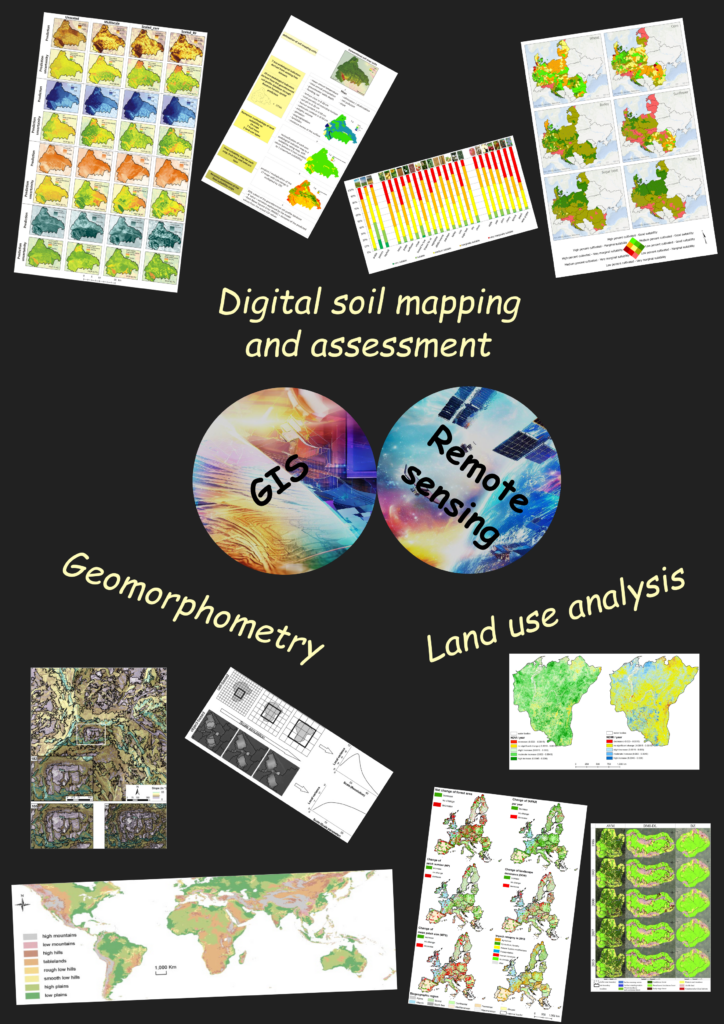 |
TECHNICAL EXPERTISE
- Pedometric techniques
- Machine learning
- Geospatial prediction
- Geographic Information Systems (GIS)
- Remote sensing
- Geographic object-based image analysis (GEOBIA)
EXPERIENCE
The group led several national and international research grants as PI funded by the European Commission, Austrian Science Fund, or the Romanian Ministry of Research and Innovation through UEFISCDI, focusing on diverse topics within the field of geography and geospatial analysis. Through these projects, the group has gained valuable insights into various aspects of geospatial assessment, land management, and environmental modeling, contributing to the advancement of knowledge in these several research areas:
- The group developed a digital application for land suitability that has several functions: calculating and mapping the land suitability for crops and land use types; creating maps with land limitations and restrictions for each crop; providing cropping recommendations, contributing to the integration of soil functions and ecosystem services into land management decisions.
- The expertise in geospatial analysis has been applied to projects involving semi-automated object-oriented landslide mapping, enabling better understanding and mitigation of landslide risks.
- Other projects have explored topics such as fundamental surface elements on digital elevation models, scales and hierarchies in geomorphometry, and complex landscape units for environmental assessment and modeling.
FUNDED PROJECTS
- 2025, Member, Project: Expansion of the National Infrastructure Participating in the European Collaborative Ground Segment (COLGS-RO), UEFISCDI, PN-IV-P6-6.3-SOL-2024-2-0248, https://rocs.uvt.ro/
- 2020-2022, Project leader, Project: A digital framework for assessing land suitability to crops and land use, UEFISCDI, PN-III-P1-1.1-PD-2019-0402, Project acronym: LS-GIS: https://ls-gis.projects.uvt.ro/ RON 250,000 (ca EUR 55,000)
- 2020, Member, Project: Study of the development of extreme events over permafrost areas, Ministry of Research and Innovation and CNCS – UEFISCDI within ERANET, Project number ERANET-RUS-PLUS-SODEEP, Project acronym: SODEEP: https://sodeep.projects.uvt.ro/
- 2019-2020, Member, Project: Big Data Science, PNIII 28 FTE, Project acronym: BID, https://bid.hpc.uvt.ro/, 5 000 000 lei
- 2017-2019, Project leader, Project: Semi-automated object-oriented landslide mapping, CNCS – UEFISCDI, PN-III-P4-ID-PCE-2016-0222. RON 850,000 (ca EUR 190,000)
- 2011-2012, Project leader, Project: Fundamental surface elements on digital elevation models. FuSE_DEM/PN-II-ID-PCE-2011-3-0499. UEFISCDI. RON 500,000 (ca EUR 100,000)
- 2009-2011, Project leader, Project: Scales and Hierarchies in Geomorphometry. SCALA-PLUS/ FP7-239312. European Commission. EUR 37,500
- 2008-2011, Project co-leader, Project: Scales and hierarchies in landform classification. SCALA/ FWF-P20777-N15. Der Wissenschaftsfonds-FWF, Austria. EUR 282,087.54
- 2006-2008, Project leader, Project: Complex Landscape Units for Environmental assessment and modeling. CLUE/ FP6- 009532. European Commission. EUR 157,387
- 2006-2009, Member, Project: Twinning European and South Asian River basins to enhance capacity and implement adaptive integrated water resources management approaches. BRAHMATWINN/ FP6-036952 European Commission.
COLLABORATIONS
These projects allowed fruitful collaborations with experts in the field of geoinformatics, soil science, climate, geophysics, and land use analysis, within diverse institutions across the globe:
- Department of Geoinformatics from Salzburg University
- Department of Physical Geography and Geoinformatics from Comenius Univesity in Bratislava
- Department of Natural Environmental Studies from The University of Tokyo
- Faculty of Geo-Information Science and Earth Observation (ITC) from the University of Twente
- Department of Regional Land and Atmosphere Modeling from Helmholtz-Zentrum Hereon
- Max Planck Institute for Meteorology
- Institute of Geography, Romanian Academy
- Pedological and Soil Agrochemistry Office (OSPA), Arad, Romania