Research articles in Web of Science (selection)
| 26. Geospatial evaluation of the agricultural suitability and land use compatibility in Europe’s temperate continental climate region Dornik A., Cheţan M.A., Crişan T.E., Heciko R., Gora A., Drăguţ L., Panagos P. International Soil and Water Conservation Research (Q1), 2024 DOI: https://doi.org/10.1016/j.iswcr.2024.01.002  25. Physical geomorphometry for elementary land surface segmentation and digital geomorphological mapping Jozef Minár, Lucian Drăguţ, Ian S. Evans, Richard Feciskanin, Michal Gallay, Marián Jenčo, Anton Popov Earth-Science Reviews (Q1), 2024, Volume 248, 104631 DOI: https://doi.org/10.1016/j.earscirev.2023.104631 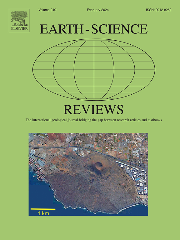 24. Assessing spatially heterogeneous scale representation with applied digital soil mapping Newman D.R., Saurette D.D., Cockburn J.M.H, Dragut L., Lindsay J.B. Environmental Modelling & Software (Q1), 2023, 160, 105612 DOI: https://doi.org/10.1016/j.envsoft.2022.105612 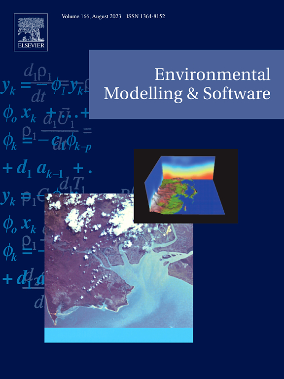 |
| 23. Optimal scaling of predictors for digital mapping of soil properties Dornik Andrei, Cheţan Marinela Adriana, Drăguţ Lucian, Dicu Daniel Dorin, Iliuţă Andrei Geoderma (IF 6.1; AIS 1.221; Q1), 2022, 405:115453 DOI: 10.1016/j.geoderma.2021.115453  |
| 22. Importance of the mapping unit on the land suitability assessment for agriculture Dornik Andrei, Cheţan Marinela Adriana, Drăguţ Lucian, Iliuţă Andrei, Dicu Daniel Dorin Computers and Electronics in Agriculture (IF 8.3; AIS 1.049; Q1; Rank 1/58 in AGRICULTURE, MULTIDISCIPLINARY), 2022, 201: 107305 DOI: https://doi.org/10.1016/j.compag.2022.107305  |
| 21. Influence of sampling design on landslide susceptibility modeling in lithologically heterogeneous areas Dornik Andrei, Drăguţ Lucian, Oguchi Takashi, Hayakawa Yuichi, Micu Mihai Scientific Reports (IF 4.6; AIS 1.129; Q2), 2022, 12:2106 DOI: https://doi.org/10.1038/s41598-022-06257-w  |
| 20. Soil-Related Predictors for Distribution Modelling of Four European Crayfish Species Dornik Andrei, Ion Mihaela, Cheţan Marinela Adriana, Pârvulescu Lucian Water (IF 3.53; AIS 0.523; Q2), 2021, 13:16, 2280 DOI: https://doi.org/10.3390/w13162280  |
| 19. 20 years of landscape dynamics within the world’s largest multinational network of protected areas Cheţan Marinela Adriana, Dornik Andrei Journal of Environmental Management (IF 8.910; AIS 1.115; Q1), 2021, 280, 111712 DOI: https://doi.org/10.1016/j.jenvman.2020.111712  |
| 18. 35 Years of Vegetation and Lake Dynamics in the Pechora Catchment, Russian European Arctic Cheţan Marinela Adriana, Dornik Andrei, Ardelean Florina, Georgievski Goran, Hagemann Stefan, Romanovsky Vladimir, Onaca Alexandru, Drozdov Dmitry Remote Sensing (IF 4.848; AIS 0.933; Q1), 2020, 12:11, 1863 DOI: https://doi.org/10.3390/rs12111863  |
| 17. Assessment of Spatio-Temporal Landscape Changes from VHR Images in Three Different Permafrost Areas in the Western Russian Arctic Ardelean Florina, Onaca Alexandru, Cheţan Marinela Adriana, Dornik Andrei, Georgievski Goran, Hagemann Stefan, Timofte Fabian, Berzescu Oana Remote Sensing (IF 4.848; AIS 0.933; Q1), 2020, 12:23, 3999 DOI: https://doi.org/10.3390/rs12233999  |
| 16. Sensitivity of multiresolution segmentation to spatial extent Drăguţ Lucian, Belgiu Mariana, Popescu George, Bandura Peter International Journal of Applied Earth Observation and Geoinformation, (Q1), 2019, 81:146-153 DOI: 10.1016/j.jag.2019.05.002  |
| 15. Classification of Soil Types Using Geographic Object-Based Image Analysis and Random Forest Dornik Andrei, Drăguţ Lucian, Urdea Petru Pedosphere (IF 3.188; AIS 0.559; Q2), 2018, 28:6, 913-925 DOI: https://doi.org/10.1016/S1002-0160(17)60377-1  |
| 14. Analysis of recent changes in natural habitat types in the Apuseni Mountains (Romania), using multi-temporal Landsat satellite imagery (1986–2015) Cheţan Marinela Adriana, Dornik Andrei, Urdea Petru Applied Geography (IF 3.068; AIS 0.859; Q1), 2018, 97, 161-175 DOI: https://doi.org/10.1016/j.apgeog.2018.06.007  |
| 13. Knowledge-based soil type classification using terrain segmentation Dornik Andrei, Drăguţ Lucian, Urdea Petru Soil Research (IF 1.606; AIS 0.455; Q3), 2016, 54:7, 809-823 DOI: https://doi.org/10.1071/SR15210  |
| 12. Land-surface segmentation as a method to create strata for spatial sampling and its potential for digital soil mapping Drăguţ Lucian, Dornik Andrei International Journal of Geographical Information Science (IF 2.5; AIS 0.584; Q1), 2016, 30:7, 1359-1376 DOI: https://doi.org/10.1080/13658816.2015.1131828  |
| 11. Random forest in remote sensing: A review of applications and future directions Belgiu Mariana, Dragut Lucian ISPRS Journal of Photogrammetry and Remote Sensing (Q1), 2016, 114, 24-31 DOI: https://doi.org/10.1016/j.isprsjprs.2016.01.011  |
| 10. Transformation (normalization) of slope gradient and surface curvatures, automated for statistical analyses from DEMs Csillik Ovidiu, Evans Ian, Dragut Lucian Geomorphology, (Q1), 2015, 232, 65-77 DOI: https://doi.org/10.1016/j.geomorph.2014.12.038 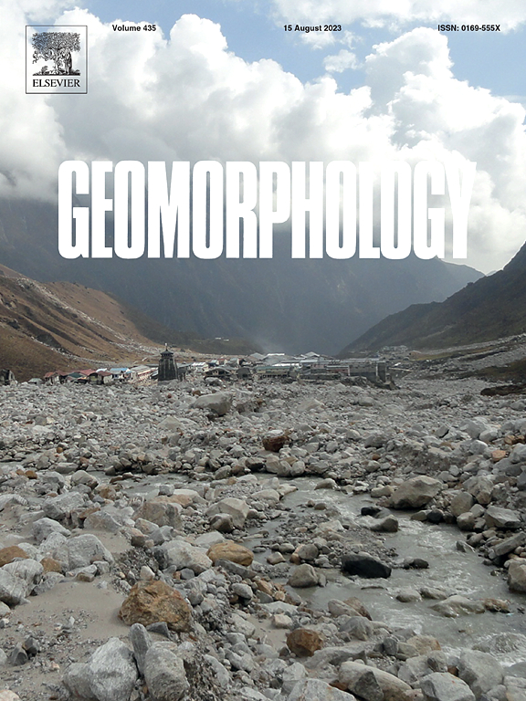 |
| 9. Comparing supervised and unsupervised multiresolution segmentation approaches for extracting buildings from very high resolution imagery Belgiu Mariana, Dragut Lucian ISPRS Journal of Photogrammetry and Remote Sensing (Q1), 2014, 96, 67-75 DOI: https://doi.org/10.1016/j.isprsjprs.2014.07.002  |
| 8. Quantitative evaluation of variations in rule-based classifications of land cover in urban neighbourhoods using WorldView-2 imagery Belgiu Mariana, Dragut Lucian, Strobl Joseph ISPRS Journal of Photogrammetry and Remote Sensing (Q1), 2014, 87, 205-215 DOI: https://doi.org/10.1016/j.isprsjprs.2013.11.007  |
| 7. Automated parameterization for multi-scale image segmentation on multiple layers Drăguţ Lucian, Csillik Ovidiu, Eisank Clemens, Tiede Dirk ISPRS Journal of Photogrammetry and Remote Sensing (Q1), 2014, 88: 119-127. Highly Cited Paper DOI: 10.1016/j.isprsjprs.2013.11.018  |
| 6. Automated object-based classification of topography from SRTM data Drăguţ Lucian, Eisank Clemens Geomorphology, (Q1), 2012, 141-142: 21-33 DOI: 10.1016/j.geomorph.2011.12.001  |
| 5. Local variance for multi-scale analysis in geomorphometry Drăguţ Lucian, Eisank Clemens, Strasser Thomas Geomorphology (Q1), 2011, 130 (3-4), 162-172 DOI: https://doi.org/10.1016/j.geomorph.2011.03.011  |
| 4. Object representations at multiple scales from digital elevation models Drăguţ Lucian, Eisank Clemens Geomorphology (Q1), 2011, 129 (3-4), 183-189 DOI: https://doi.org/10.1016/j.geomorph.2011.03.003  |
| 3. ESP: a tool to estimate scale parameters for multiresolution image segmentation of remotely sensed data Drăguţ Lucian, Tiede Dirk, Levick Shaun International Journal of Geographical Information Science, (Q1), 2010, 24: 859-871. Highly Cited Paper DOI: 10.1080/13658810903174803  |
| 2. Optimization of scale and parameterization for terrain segmentation: an application to soil-landscape modeling Drăguţ Lucian, Schauppenlehner Thomas, Muhar Andreas, Strobl Josef, Blaschke Thomas Computers & Geosciences (Q1), 2009, 35, 9:1875-1883 DOI: https://doi.org/10.1016/j.cageo.2008.10.008  |
| 1. Automated classification of landform elements using object-based image analysis Drăguţ Lucian, Blaschke Thomas Geomorphology (Q1), 2006, 81 (3-4), 330-344 DOI: https://doi.org/10.1016/j.geomorph.2006.04.013  |
