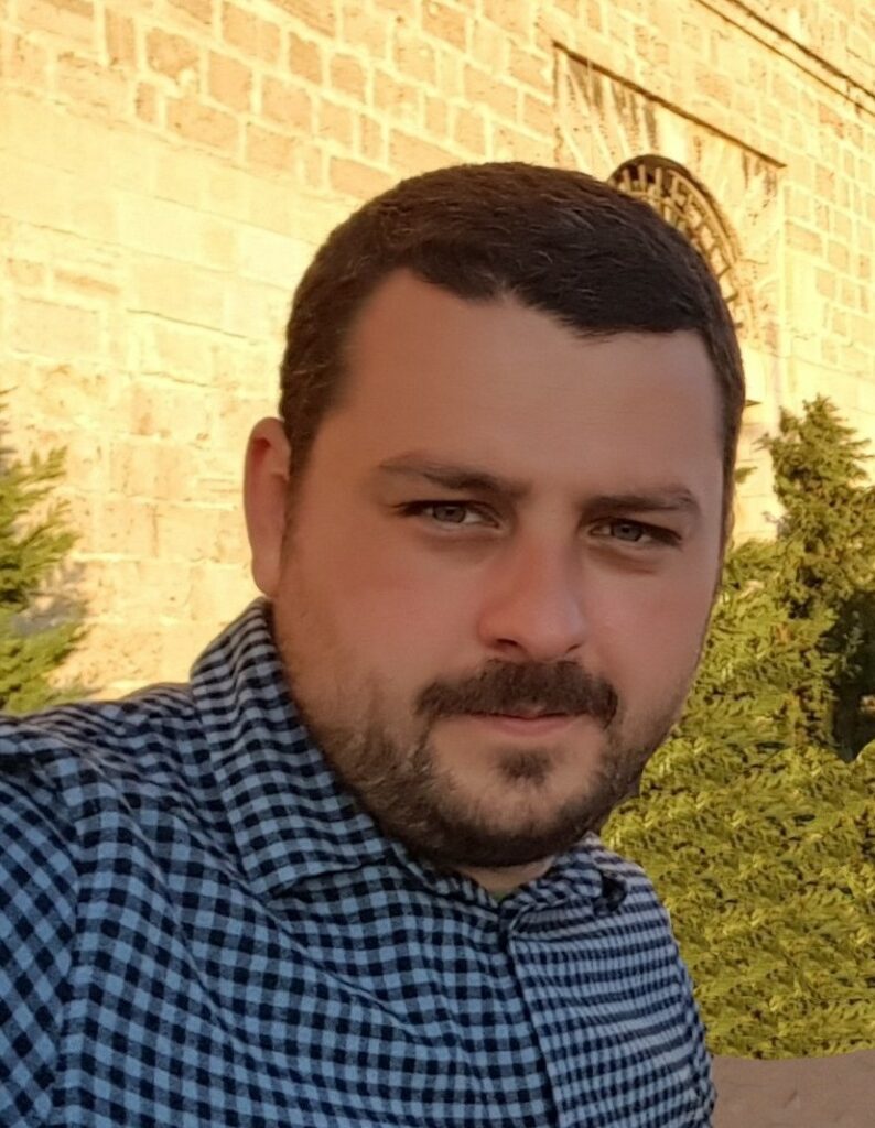
Dr. Andrei DORNIK
Works as a lecturer at the Department of Geography, West University of Timisoara, with a strong focus on research in the fields of Digital Soil Mapping, Pedometrics, and Soil Geography. Strong background in applying advanced geospatial analysis techniques, spatial prediction methods, remote sensing approaches, and big data analytics to investigate and understand the complex dynamics of soil distribution, composition, and properties, and integrating diverse data sources to enhance the knowledge and mapping capabilities of soil spatial distribution and its interactions with the environment. With a focus on leveraging the power of geospatial technologies and data-driven approaches, he aims to provide data and information on sustainable land management practices and deepen understanding of soil processes and their significance in various ecosystems.
Research interests
| Digital Soil Mapping | Soil geography | Geospatial modelling | Geopedology | Sustainable land use |
Technical expertise
| Pedometrics | Machine learning | Geospatial prediction | Optical Remote Sensing | Geographic Information Systems (GIS) |
Teaching activities
| Geoinformatics | Programming | Geographic Information Systems | Geospatial modelling | Remote Sensing |
Professional experience
2022 – present: Lecturer at the Department of Geography, West University of Timisoara. Teaching: Geoinformatics; Programming; Geographic Information Systems; Remote sensing
2019 – 2022: Teaching assistant at the Department of Geography, West University of Timisoara. Teaching: Geoinformatics; Geographic Information Systems; Remote sensing
2015 – 2019: Cartographer. Main activities: Digital Mapping and Cartography; GIS
2013 – 2014: Geomatician. Main activities: GIS analysis, training GIS, database administration, geoprocessing
Qualifications
2012-2015 PhD from the Department of Geography, West University of Timisoara. Supervisor: Professor PhD Petru Urdea, Thesis Summary. Professional skills: Digital soil mapping; GIS analysis; Object-based image analysis; spatial statistics; spatial prediction; Scientific authorship and research project management
2010-2012 MSc from the Department of Geography, West University of Timisoara. Specialization: Geographic Information Systems. Professional skills: Databases (MySQL and Oracle), Programming (Python language), Remote Sensing, Geomorphometry, Project Management, Location Based Services, Geostatistics and spatial statistics
2007-2010 BSc from the Department of Geography, West University of Timisoara. Specialization: Geography. Professional skills: Geographical Information Systems, Remote Sensing, Cartography and topography, Geoinformatics, Geology, Meteorology, Hydrology, Geomorphology, Soil Science, Biogeography, Human Geography
2003 – 2007 Certificate in Informatics from the Informatics Highschool in Petroşani (Hunedoara County). Professional skills: Informatics (programming, web design), Mathematics, Physics
Publications
Dornik A., Cheţan M.A., Crişan T.E., Heciko R., Gora A., Drăguţ L., Panagos P., 2024, Geospatial evaluation of the agricultural suitability and land use compatibility in Europe’s temperate continental climate region, International Soil and Water Conservation Research (IF 6.4; Q1), DOI: https://doi.org/10.1016/j.iswcr.2024.01.002
Dornik A., Cheţan M-A., Drăguţ L., Dicu D.D., Iliuţă A., 2022, Optimal scaling of predictors for digital mapping of soil properties, Geoderma (IF 6.114; AIS 1.122; Q1), 405:115453, DOI: 1016/j.geoderma.2021.115453
Dornik A., Cheţan M-A., Drăguţ L., Iliuţă A., Dicu D.D., 2022, Importance of the mapping unit on the land suitability assessment for agriculture, Computers and Electronics in Agriculture (IF 6.757; AIS 0.932; Q1), 201: 107305, https://doi.org/10.1016/j.compag.2022.107305
Dornik A., Drăguţ L., Oguchi T., Hayakawa Y., Micu M., 2022, Influence of sampling design on landslide susceptibility modeling in lithologically heterogeneous areas, Scientific Reports (IF 4.996; AIS 1.207; Q2), 12:2106, https://doi.org/10.1038/
Dornik A., Ion M. C., Chețan M-A., Pârvulescu L., 2021, Soil-Related Predictors for Distribution Modelling of Four European Crayfish Species, Water (IF 3.103; AIS 0.5; Q2), 13:16, 2280,https://doi.org/10.3390/w13162280
Cheţan, M-A., Dornik, A., 2021, 20 years of landscape dynamics within the world’s largest multinational network of protected areas, Journal of Environmental Management (IF 6.789; AIS 1.074; Q1), 280, 111712, https://doi.org/10.1016/j.jenvman.2020.111712
Cheţan, M-A., Dornik, A., Ardelean, F., Georgievski, G., Hagemann, S., Romanovsky, V.E., Onaca, A., Drozdov, D.S., 2020, 35 Years of Vegetation and Lake Dynamics in the Pechora Catchment, Russian European Arctic, Remote Sensing (IF 4.848; AIS 0.933; Q1), 12:11, 1863, https://doi.org/10.3390/rs12111863
Ardelean, F., Onaca, A., Cheţan, M-A., Dornik, A., Georgievski, G., Hagemann, S., Timofte, F., Berzescu, O., 2020, Assessment of Spatio-Temporal Landscape Changes from VHR Images in Three Different Permafrost Areas in the Western Russian Arctic, Remote Sensing (IF 4.848; AIS 0.933; Q1), 12:23, 3999, https://doi.org/10.3390/rs12233999
Dornik, A., Drăguţ, L., Urdea, P., 2018, Classification of Soil Types Using Geographic Object-Based Image Analysis and Random Forest, Pedosphere (IF 3.188; AIS 0.559; Q2), 28:6, 913-925, https://doi.org/10.1016/S1002-0160(17)60377-1
Chețan, M-A., Dornik, A., Urdea, P., 2018, Analysis of recent changes in natural habitat types in the Apuseni Mountains (Romania), using multi-temporal Landsat satellite imagery (1986–2015), Applied Geography (IF 3.068; AIS 0.859; Q1), 97, 161-175, https://doi.org/10.1016/j.apgeog.2018.06.007
Dornik, A., Drăguţ, L., Urdea, P., 2016, Knowledge-based soil type classification using terrain segmentation, Soil Research (IF 1.606; AIS 0.455; Q3), 54:7, 809-823, https://doi.org/10.1071/SR15210
Drăguţ, L., Dornik, A., 2016, Land-surface segmentation as a method to create strata for spatial sampling and its potential for digital soil mapping, International Journal of Geographical Information Science (IF 2.5; AIS 0.584; Q1), 30:7, 1359-1376, https://doi.org/10.1080/13658816.2015.1131828
Chețan, M., A., Dornik, A., Urdea, P., 2017, Comparison of Object and Pixel-based Land Cover Classification through three Supervised Methods, ZFV – Zeitschrift fur Geodasie, Geoinformation und Landmanagement, 142(5):265, DOI: 10.12902/zfv-0165-2017
Dornik, A., 2018, Analiza geografică orientată-obiect pentru cartografierea digitală a solurilor în sud-vestul României, Editura Universităţii de Vest, ISBN: 978-973-125-566-8. (book)
Research grants
2025, Researcher, Project: Expansion of the National Infrastructure Participating in the European Collaborative Ground Segment (COLGS-RO), UEFISCDI, PN-IV-P6-6.3-SOL-2024-2-0248
2020-2022: Principal investigator (PI), Project: A digital framework for assessing land suitability to crops and land use (LS-GIS), CNCS – UEFISCDI, PN-III-P1-1.1-PD-2019-0402, Budget: 250000 lei. Website
2020: Postdoctoral researcher, Project: Study of the development of extreme events over permafrost areas (SODEEP), Ministry of Research and Innovation and CNCS – UEFISCDI within ERANET, Project number ERANET-RUS-PLUS-SODEEP, Budget: 528460 lei. Website
2019: Postdoctoral researcher, Project: Semi-automated object-oriented landslide mapping (MAPSLIDE), CNCS – UEFISCDI, PN-III-P4-ID-PCE-2016-0222, Budget: 850000 lei
2011 – 2012: Research assistant, Project: Fundamental surface elements on digital elevation models, FuSE_DEM/ PN-II-ID-PCE-2011-3-0499-(PI) National Research Council
2019: Lecturer, Project: Dezvoltare instituţională prin internaţionalizare pentru toţi la Universitatea de Vest din Timişoara, CNFIS-FDI-2019-0108.

andrei.dornik@e-uvt.ro

Office
V. Parvan 4, Timisoara


